The images of the Earth are captured by the TANSO-CAI loaded on the Greenhouse gases Observing SATellite (GOSAT) “IBUKI”.
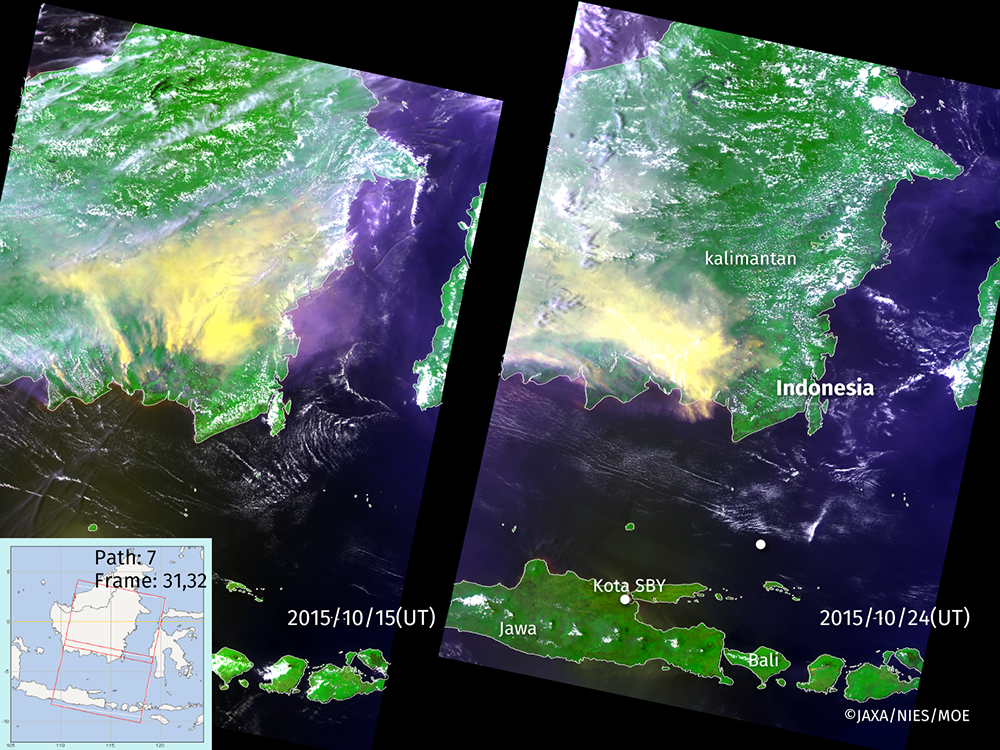
TANSO-CAI is an imager to observe clouds and aerosols with 4 bands, whose central wave lengths are 1600 nm, 870 nm, 674 nm and 380 nm respectively. These color composite images are created with its 870 nm data(*) for green channel, 674 nm for red and 380 nm for blue.
(*)These data are the reflectance derived from the CAI L1B+ radiance data, and their spatial resolutions are 500 m respectively.
These images were published on the GDAS, etc.
see more images here